Ecological Archives A025-144-A1
Laurence E. Berry, Don A. Driscoll, John A. Stein, Wade Blanchard, Sam C. Banks, Ross A. Bradstock, and David B. Lindenmayer. 2015. Identifying the location of fire refuges in wet forest ecosystems. Ecological Applications 25:23372348. http://dx.doi.org/10.1890/14-1699.1
Appendix A. Maps of study region and fire severity within the OShannassy and Maroondah water catchments.
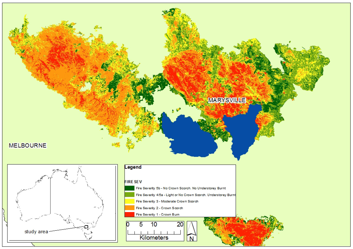
Map of study region in South Eastern Australia, indicating fire severity within the 2009 Kilmore East-Murrindindi fire complex. Blue shapes indicate Maroondah (left) and O’Shannassy (right) water catchments. For refuge predictions and fire severity in these catchments see Fig. 1.
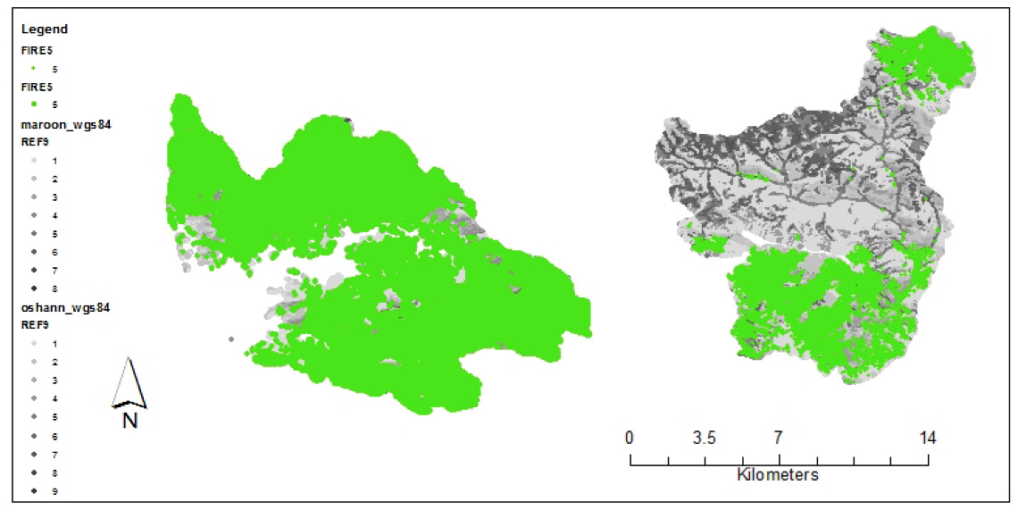
Map displaying the incidence of fire severity class ‘5’ (canopy and understorey intact) in the O’Shannassy (right) and Maroondah (left) catchments.
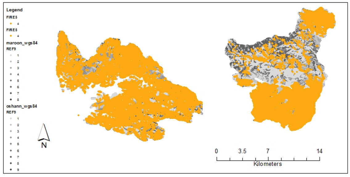
Map displaying the Incidence of fire severity class '4' (Canopy intact/ partially intact, understorey burnt) in the Maroondah (left) and O'Shannassy (right) catchments.
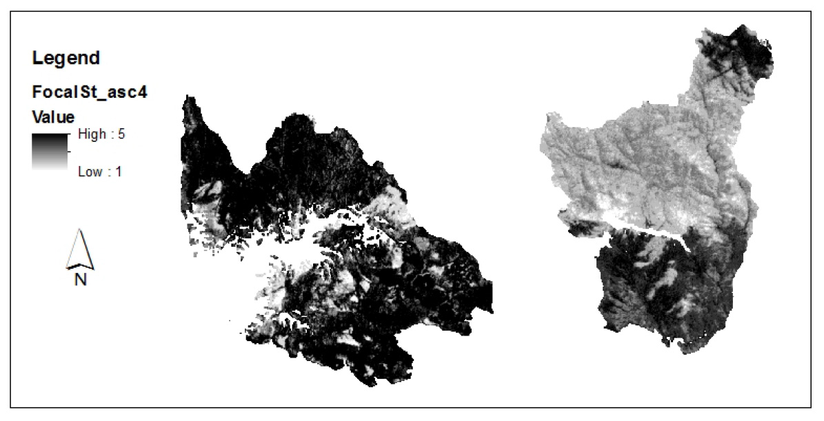
Map displaying the spatially lagged response variable (SLRV) ‘Fm4’ for Maroondah (left) and O'Shannassy (right) catchments. The SLRV ‘Fm4’ was constructed from the mean fire severity of the surrounding 4 points of each grid cell.